Mount Daniel: Attempt #1
“Words can’t describe how far off we were on our ascent.”
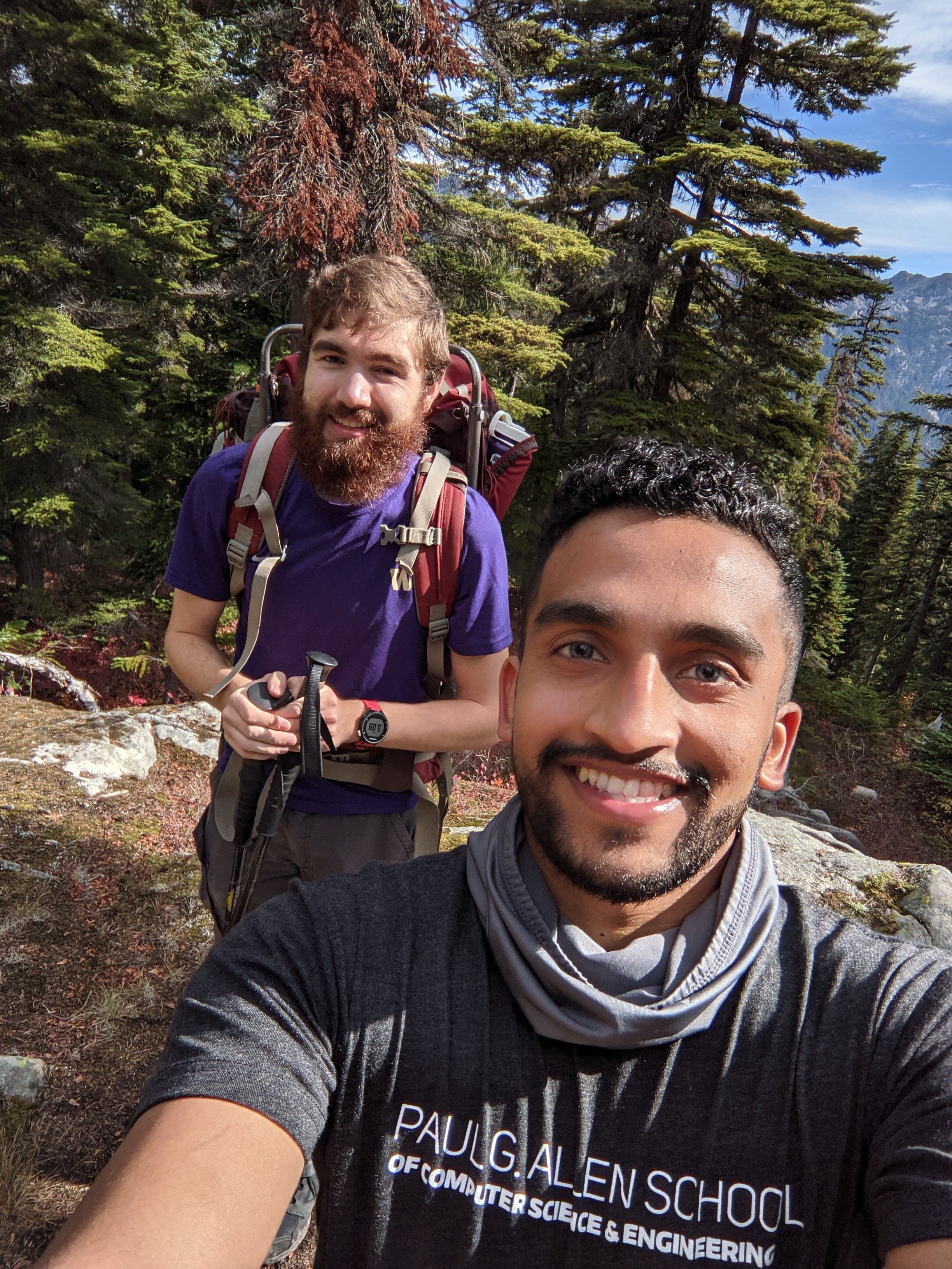
On Saturday 10/3/21, my friend Gavin Parpart and I attempted to climb Mount Daniel to the main summit. We got close - like 95% of the way there - and had to turn back. This post documents my preparation for the scramble, why we failed, and how I feel about it. It’s more of a personal account than a formal, detailed trip report.
Preparation
The plan to climb Mount Daniel began the Saturday before, and I felt severely underprepared in several aspects. The toughest hike I remember doing was Granite Mountain a couple years ago, which is 8.6 miles roundtrip with an elevation gain of 3800 feet; I began cramping towards the end due to dehydration, a lack of proper food, and I really was not in the best shape of my life. This pales in comparison to Mount Daniel, which is 18.0 miles roundtrip with an elevation gain of 5100 feet including approximately six Class 3 scrambling moves, i.e. climbing with a risk of serious injury or death. Although I’ve recently been rock climing, biking, and weightlifting approximately thrice a week, I haven’t ran or done any endurance training in what felt like months, and I had no clue how I would endure an entire day-long hike. Moreover, I didn’t have the gear to support a day-long hike, let alone the equipment required to scramble.
Training
I only had a week to “train” as much as I could. My plan, as opposed to my regular exercise routine, was to hit myself hard earlier in the week with scrambling-relevant exercise to test out my endurance and “wake up” some muscles which haven’t been used in a while; then rest a couple days before Saturday.
Sunday - rest & recover.
Monday - Spontaneous 10 mile “run” which was just a mix of sprinting, running, and walking my friend’s husky dog Akira. I was roughly planning on jogging a couple miles before my left ankle began to hurt, but that didn’t end up happening, and we just kept on going. I hadn’t ran for over a month, and I hadn’t run anything more than 5 miles in several months. Something about letting a husky guide you forward in the pitch dark with no route, pace, or time planned, plus getting a bunch of clout running through campus, resulted in the best runner’s high I’ve ever had. This was also done in minimalist Xero Shoes Prios, and it’s the farthest distance I’ve ran in them. I also meal-prepped some vegan Massaman Thai curry with tofu and quinoa right before, and that’s what I had for lunch for the rest of the week.


Tuesday - rest & recover. I woke up with what felt like some pretty intense runner’s knee, but my physical therapist friend Bailey assured me that it could just be an acute, short-term overuse injury as opposed to something like tendonitis, and it’s simply too soon to tell. The rest of my legs were also pretty sore, so I just frequently stretched out and massaged them throughout the day.
Wednesday - morning workout at Vertical World Seattle. My knees felt just fine, and I ended up doing the following:
20 min stair climbers at a pretty high speed to mimic ascending
20 mins of the SkiErg machine to mimic using hiking poles
Upclimb AND downclimb of a 5.8 auto-belay route; I usually don’t downclimb, but it’s important for scrambling.
4 sets of 20 reps of incline crunches
Partial upclimb (like 90%) of a 5.9 route to-failure
4 sets of 20 reps of cable crunches
I traded some of that aforementioned curry for some backyard eggs from a friend in Bothell. I’m “vegan-ish”: I’ll consume eggs (and fish) if and only if I know precisely where they came from and that they were ethically harvested. I hadn’t had eggs in over a month and it was absolutely a (protein-filled) treat.
Thursday - rest & recover. I spent the evening acquiring most of the gear listed below.
Friday - rest & recover (and hydrate and load-on carbs for dinner). I also wore my new trail runners all-day to get used to them, since I’ve been wearing minimalist Xero shoes for several months.
Gear
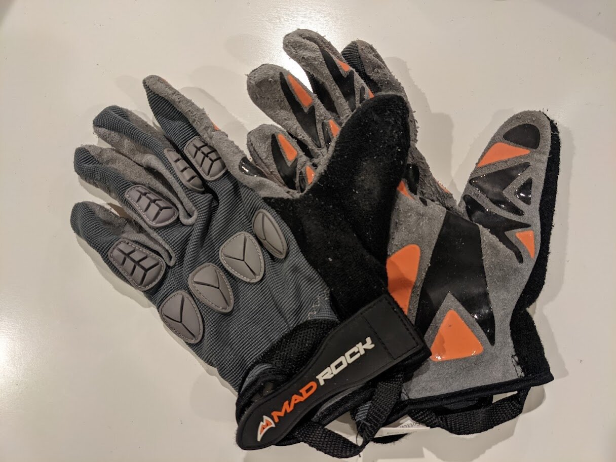
The only gear I really had was a small backpack (Osprey Rev 12), good clothes, and a Garmin Instinct Solar; I had to acquire the rest. I spent hours at the REI flagship store on Thursday getting a bunch of gear. I followed The 10 Essentials for Hiking and Kyle McCrohan’s guide on Footwear in the Cascades. I also spent Friday evening checking out Wonderland Gear Exchange in Fremont - which is a really friendly, awesome store I’m definitely coming back to; I ended up getting some rock climbing gloves there.
Shoes
I decided to go with two types of shoes: a trail runner for the first part, and approach boots for the second part. They had limited stock at the REI, but I tried these shoes thoroughly and they felt perfect. I’d highly recommend reading Kyle’s guide, and although I really wanted to get one of the shoes that he listed, I just followed through on his core recommendations and ended up getting the shoes which felt right for me. Although I really wanted to stick with the Xero shoes brand since I’ve been exclusively wearing them for months, the reviews for their hiking shoes showed that they just weren’t protective or grippy enough.

Altra Lone Peak 5 Trail-Running Shoes
Altra was the only brand on the shelves which had 0mm drop heels, which was closer to the kind of shoes I’ve been wearing. This model had the least padding compared to the others, yet still felt like walking on clouds. After jogging around with them and walking up and down the mock rock demo platform, I felt like these would be the perfect hiking shoes.

La Sportiva TX4 Mid GTX Approach Boots
I had to choose between these and a pair of La Sportiva TX Guide Approach Shoes. I was really tempted to go with the latter since it was half the weight, were at least mentioned in Kyle’s guide, offered more flexibility, and looked cooler. If I really wanted to minimize weight and optimize climbing, I would have just brought my rock shoes - but those would be overkill and wouldn’t fit the class three scrambles. I wasn’t even consdiering these boots - the REI employee brought them to me by accident when I was asking for a similar model. When trying on the approach shoes and the approach boots side-by-side, the boots were insanely grippier. I could shear and place my foot down in different ways on the rock to test out the grip; in all the cases, the shoes would grip far better than a trail runner but still slip, whereas the boots would just stick on like adhesive. Although it wasn’t what I planned on, they felt too right, and later proved to work beautifully.
Other Gear


Packing Inventory
Here’s the list of things I stuffed into my small backpack; each “bag” was a Ziploc freezer bag with its own category.
Extra clothes bag: two pairs of socks, one underwear, one shirt, thermal pant, thermal shirt
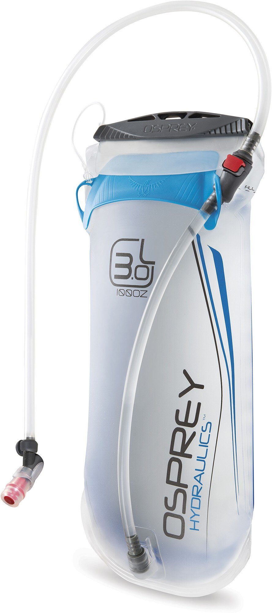
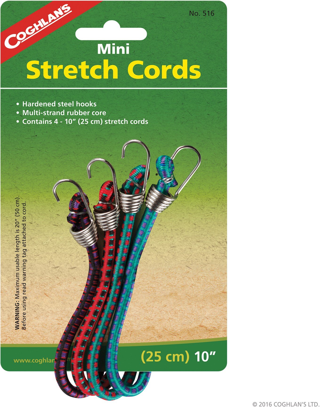
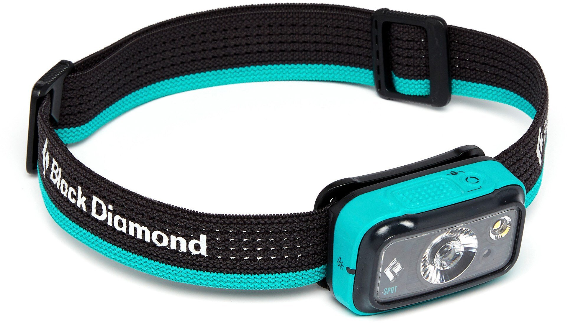
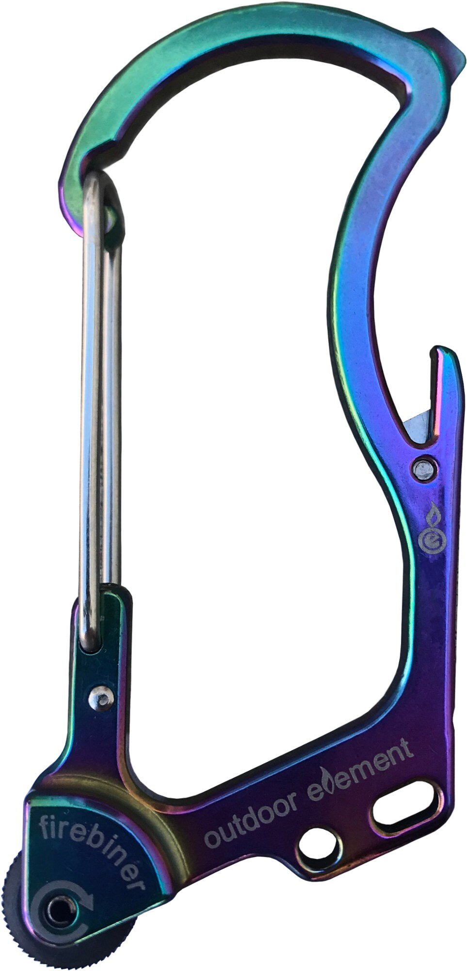
Gear bag: bungee cords, caribiners, instant warmer, emergency blanket, microspikes, trekking pole snow caps, knife, headlamp
Hygiene bag: toilet paper, first aid kit, black paper bag + another plastic bag, hand sanitizer
Water bag: filter, purifier
Food bag: mixed nut butter sandwich, 2 clif bars, 1 pumpkin bar, 2 apple bars, 1 big protein cookie, trail mix, 3 oranges
Water: 3L bag, 2 1L bottles
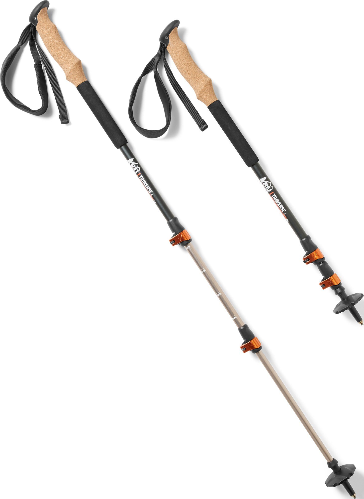
Trekking poles
Approach shoes strapped to back with cords
Rain jacket with gloves and balaclava (tied to hip)
Garmin Instinct Solar watch
Contacts case w/ spares
Navigation
This is all the info I had time to collect before the trip:
https://www.wta.org/go-hiking/hikes/mount-daniel
- Exit 80, turn left onto Bullfrog Road to cross over the highway; at 2nd roundabout,go to WA-903 North to Salmon La Sac, passing Roslyn and Ronald until it becomes Salmon La Sac Road. Pass a Ranger Station and keep right on a rough dirt road (Forest Road 4330); drive 12 miles to the end of the road and the Cathedral Rock trailhead.
- You need a Northwest Forest Pass
- 18 mile roundtrip, 5100 ft elevation gain, 7960ft; treeline is at 5-6000 ft
From Rbudnesmann’s trip report:
- Drive on the side past puddles
- 5 mi Cathedral Pass EZ
- old trail vs. new trail to Peggy's Pond
- After, several routes, stay right at junction to Circle Lake
- Like 6 3rd class moves
- Poles are helpful
- Took 9 hours
https://www.mountaineers.org/activities/routes-places/mount-daniel
”Follow the Deep Lake trail 4.5 miles to Cathedral Pass (5,500 ft). As you descend towards Deep Lake, there is a good trail leading towards Peggy's Pond at the end of a switchback. The path traverses to the lake. From the lake there is a path most of the way to Mount Daniel after the snow melts. The path is along the southeast ridge that is between Circle Lake and the permanent snowfield shown on the USGS map. Follow the ridge to the saddle below the east summit (7,899 ft). The east summit is an enjoyable scramble along its south ridge if time permits. Traverse from this saddle to the saddle between the east and middle summits. From here walk up the talus slope to the middle summit, and then follow the southeast ridge of the west summit to the base of the summit block. Scramble along the south side to reach the summit.”

The USGS map referred to in the above description.
https://www.summitpost.org/southeast-ridge/158954
I only ended up downloading the USGS map (without the route marked, and without all the landmarks labeled) and followed the small paragraph description above which left much to be desired. I just found out that the last link included a beautiful topographical route map with the path drawn out in red:

However, I skipped reading the last link and missed out on this map, because I was too busy prioritizing other aspects (training, gear, fuel) and complacently assumed I could rely on external factors (more experienced people who could guide me, signs on routes). This was a mistake.
The TriP
The Drive


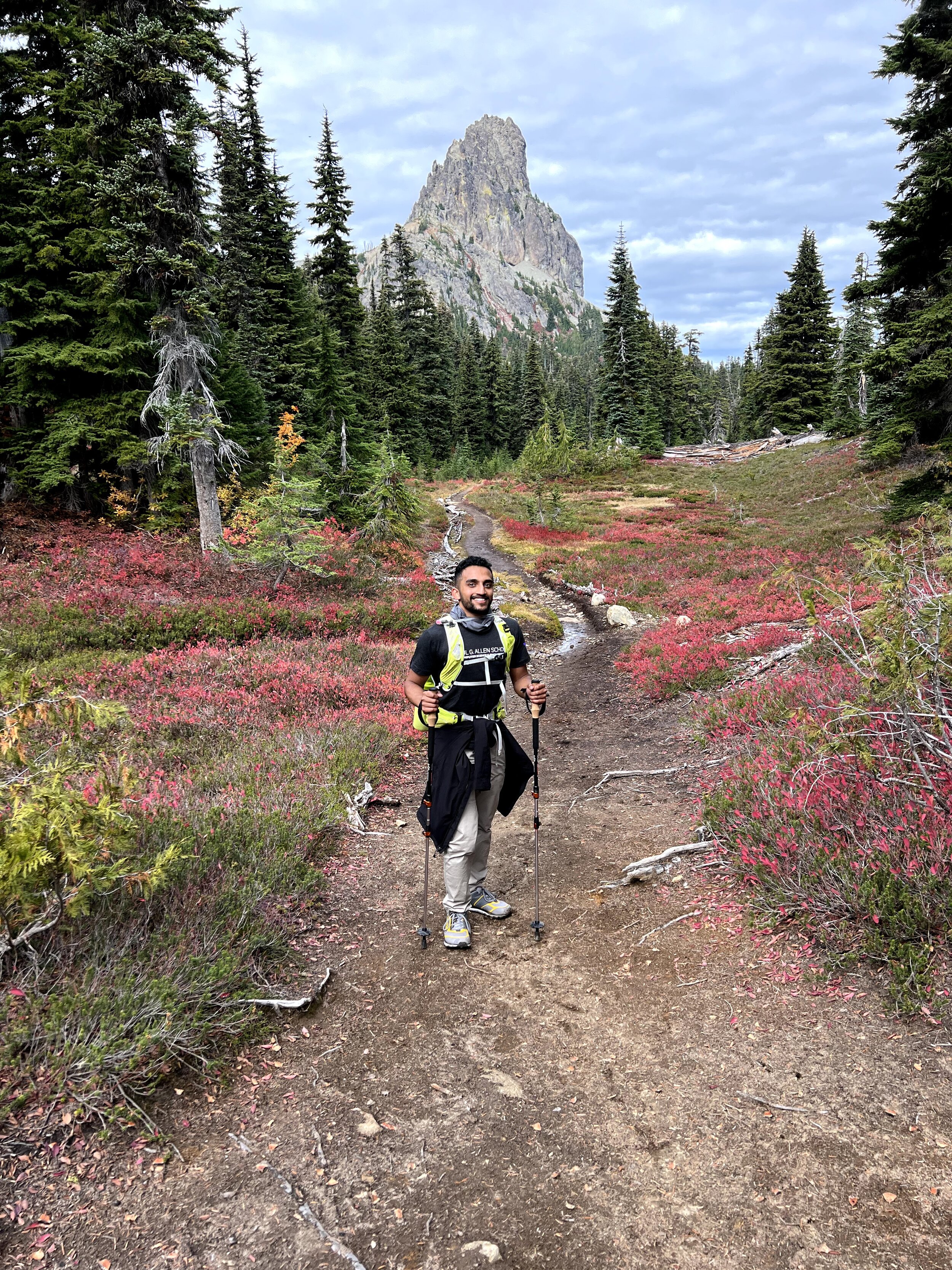
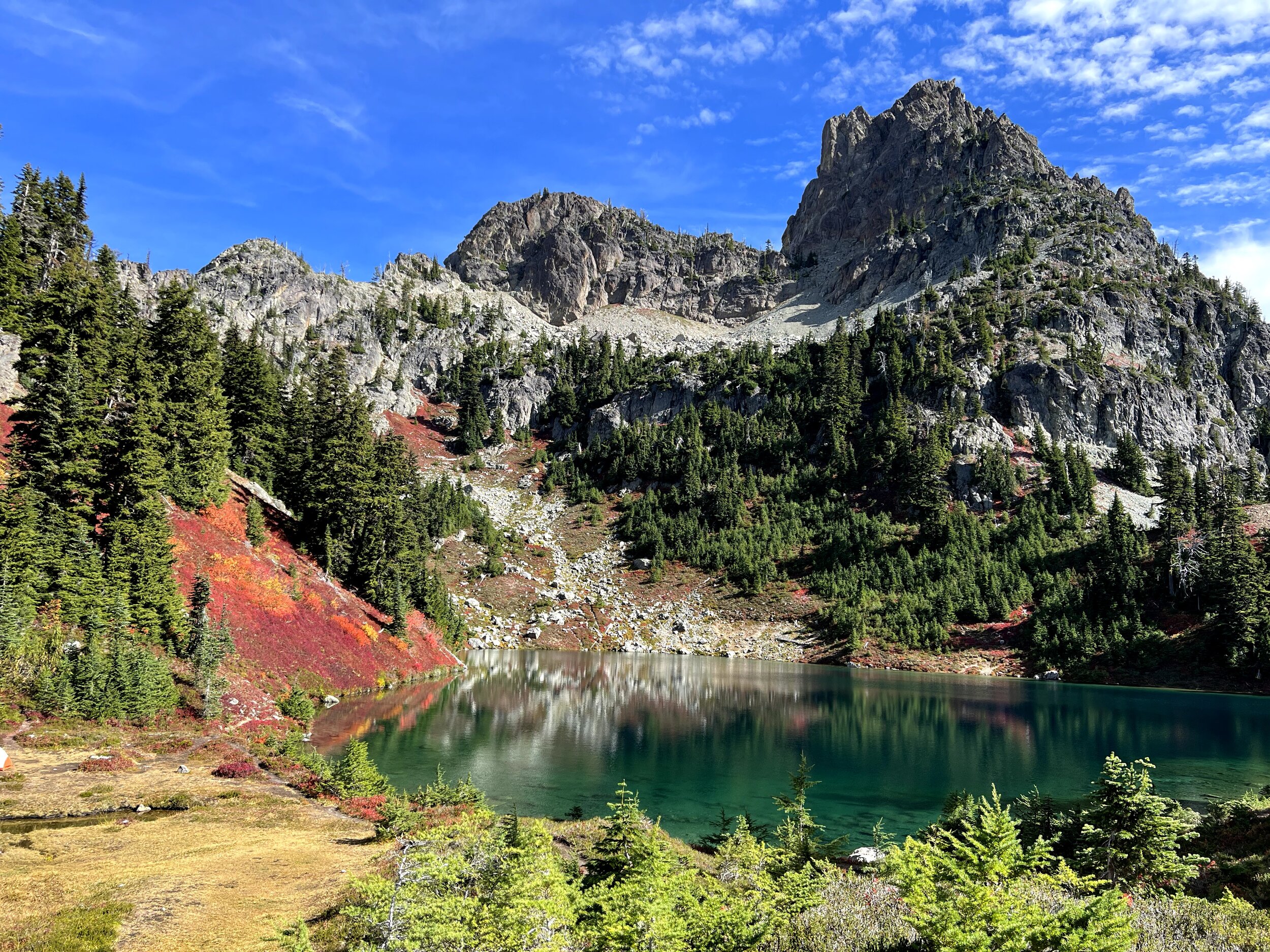
I drove to Gavin’s place in my sedan and we took his SUV the rest of the way there; given the creek across the road and countless deep puddles we had to cross, this was the right choice (and I would highly recommend not attempting to get there in a sedan after days of rain). I believe the photo on the right is Cathedral Rock in the distance.
Ascent
Part 1
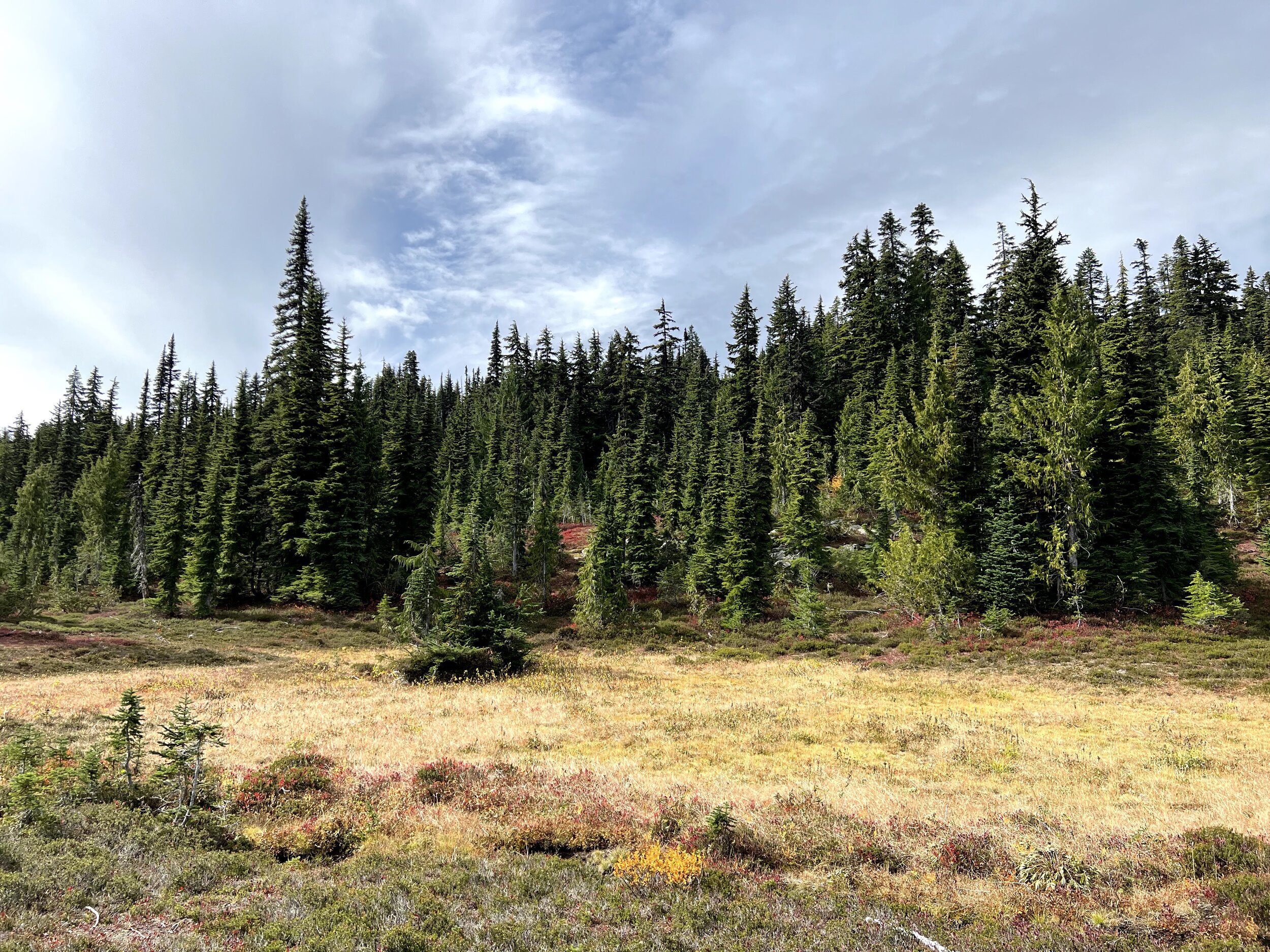
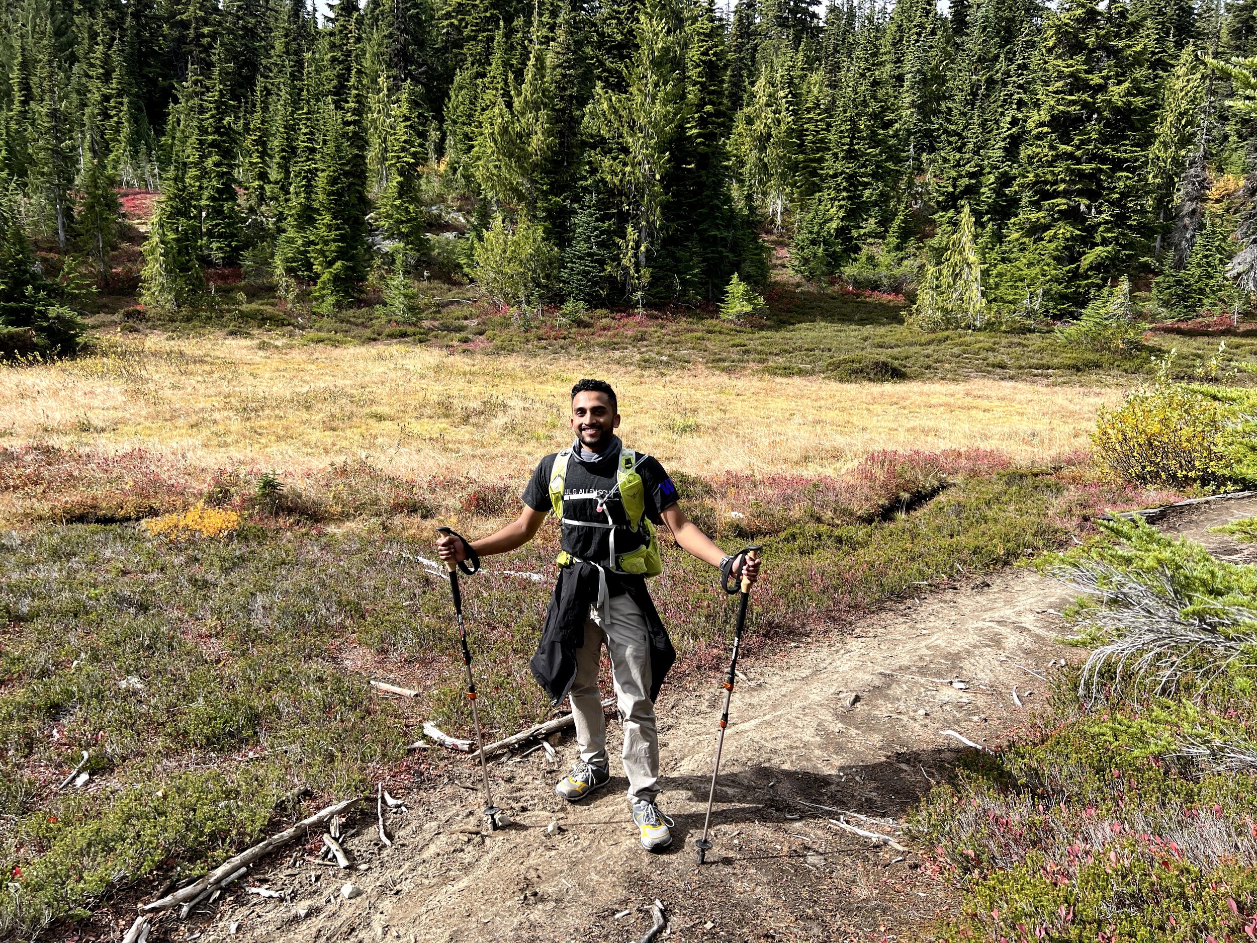
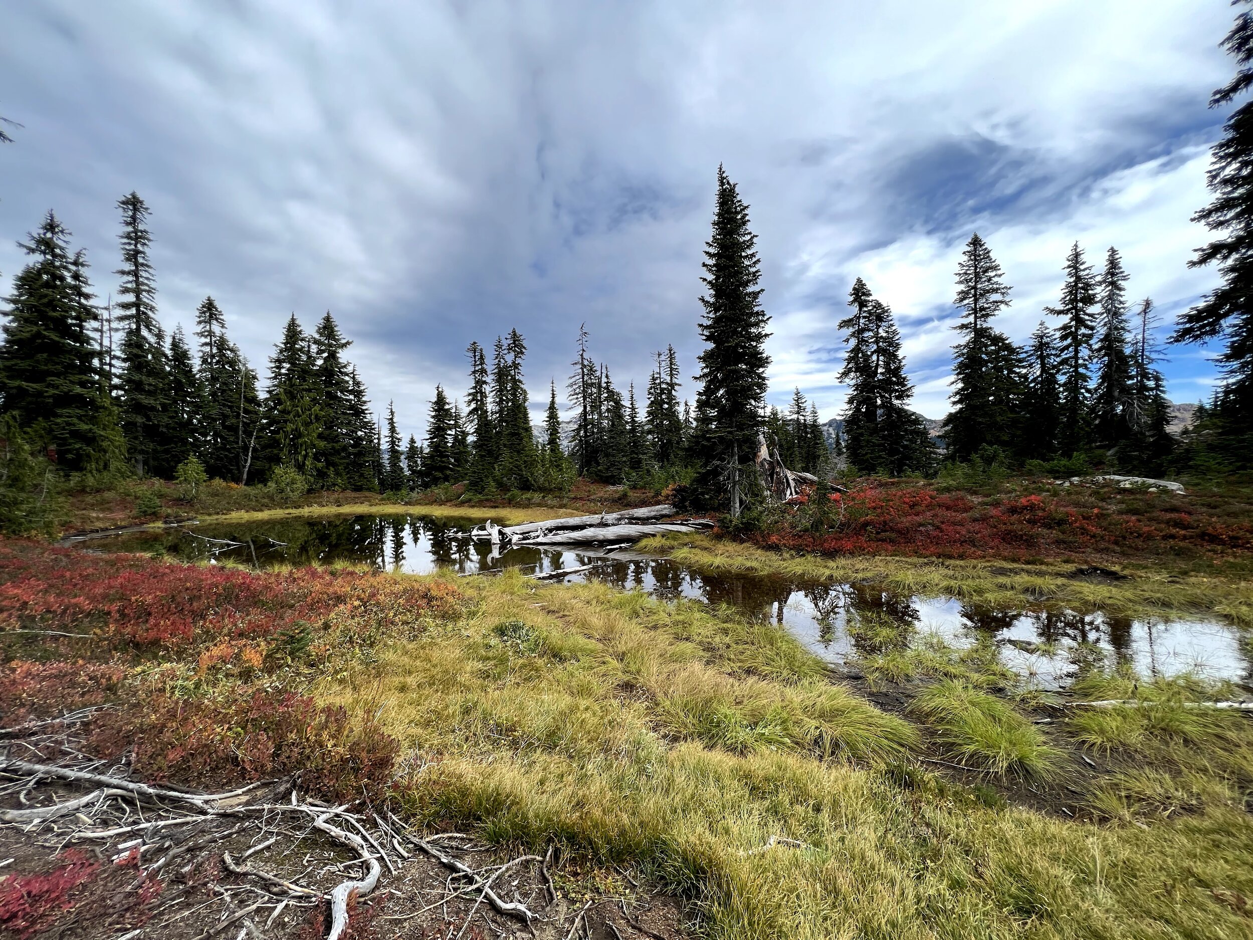
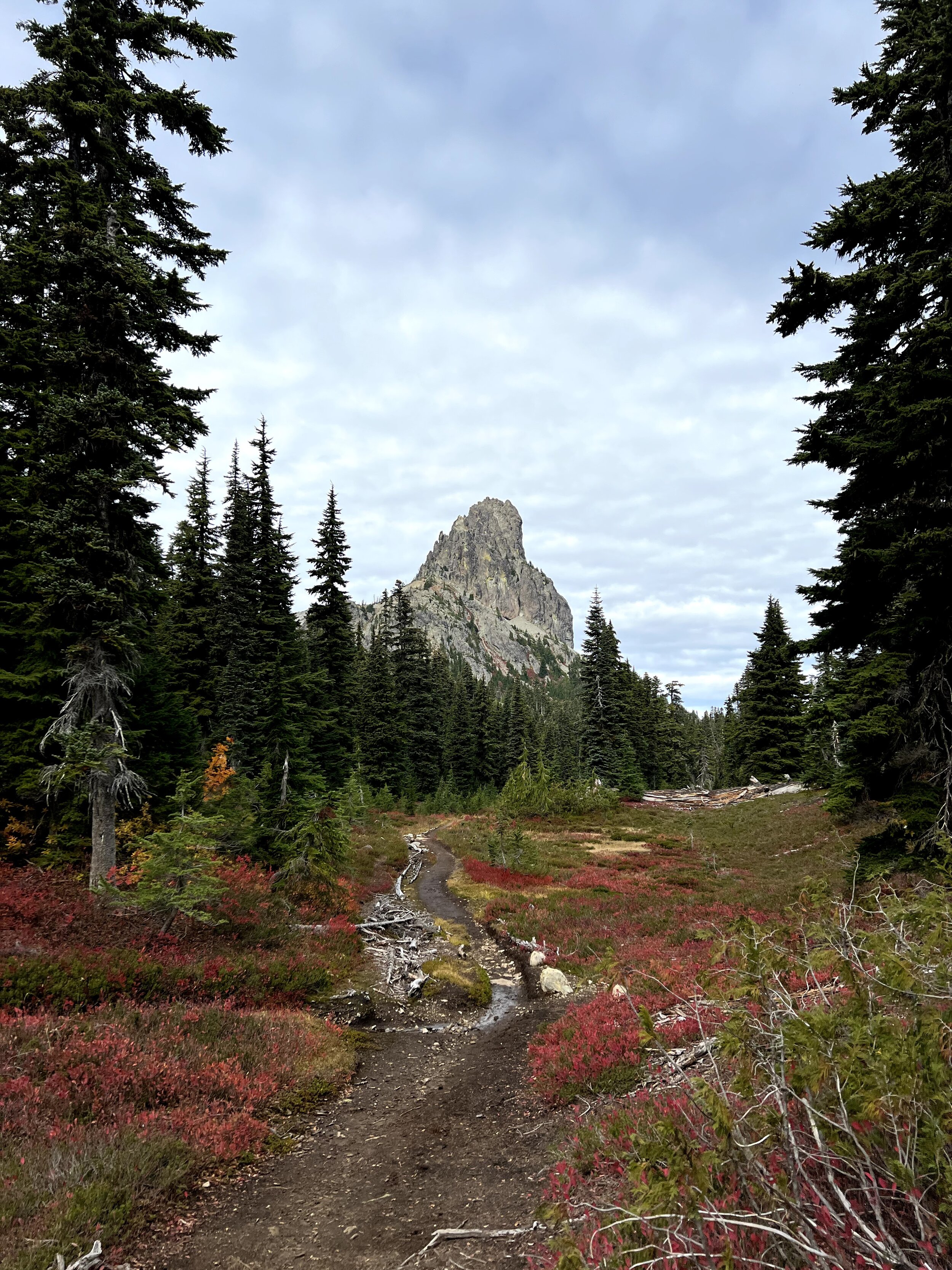
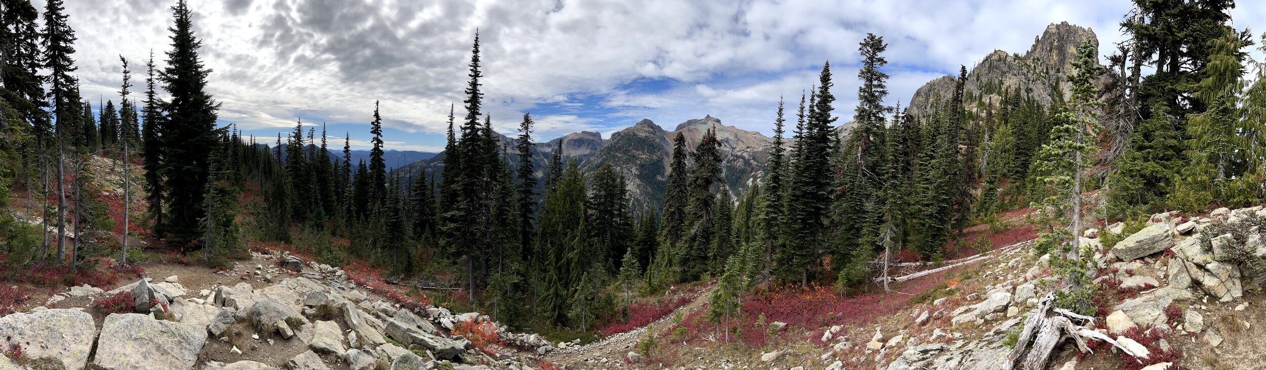
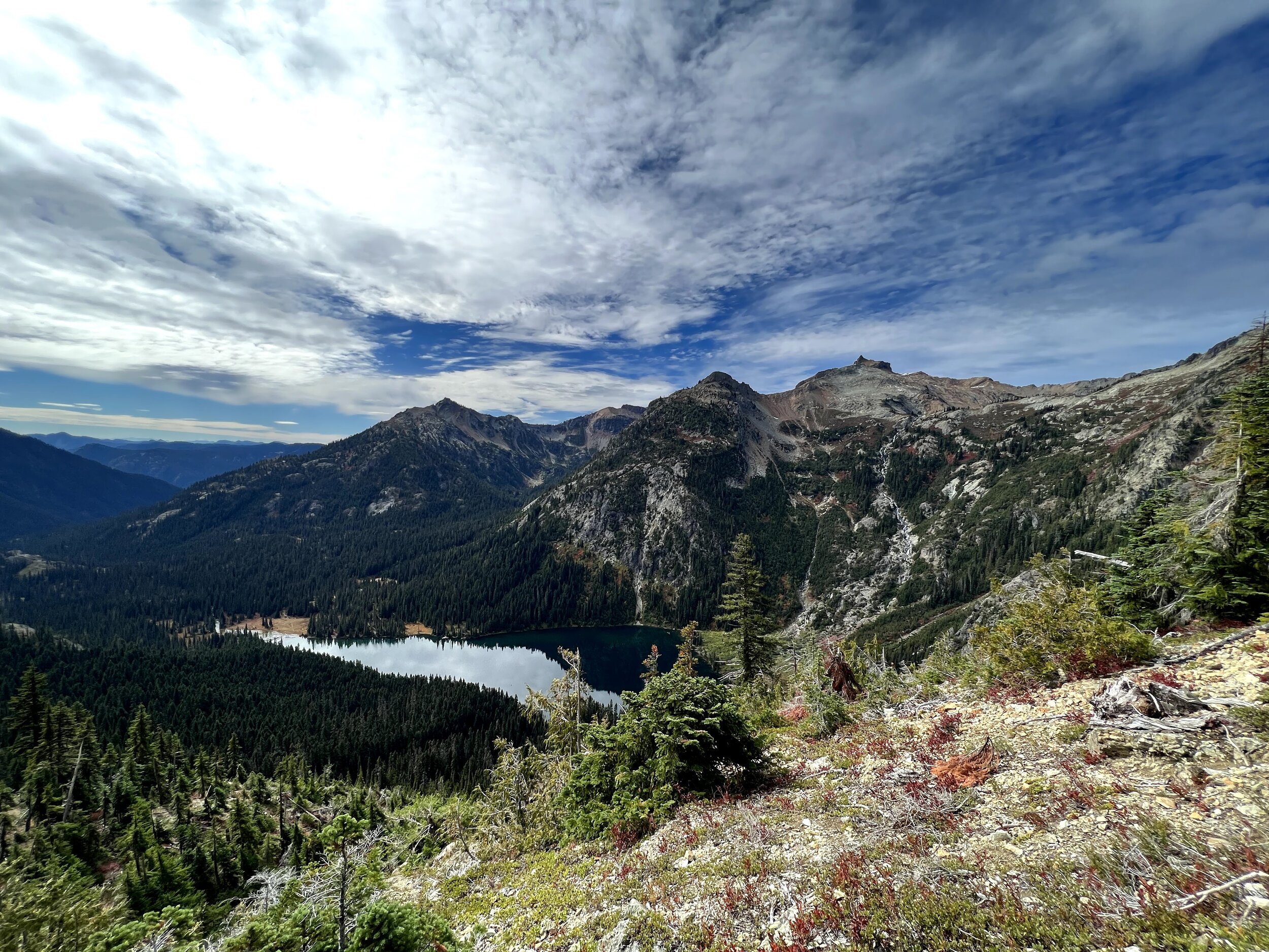
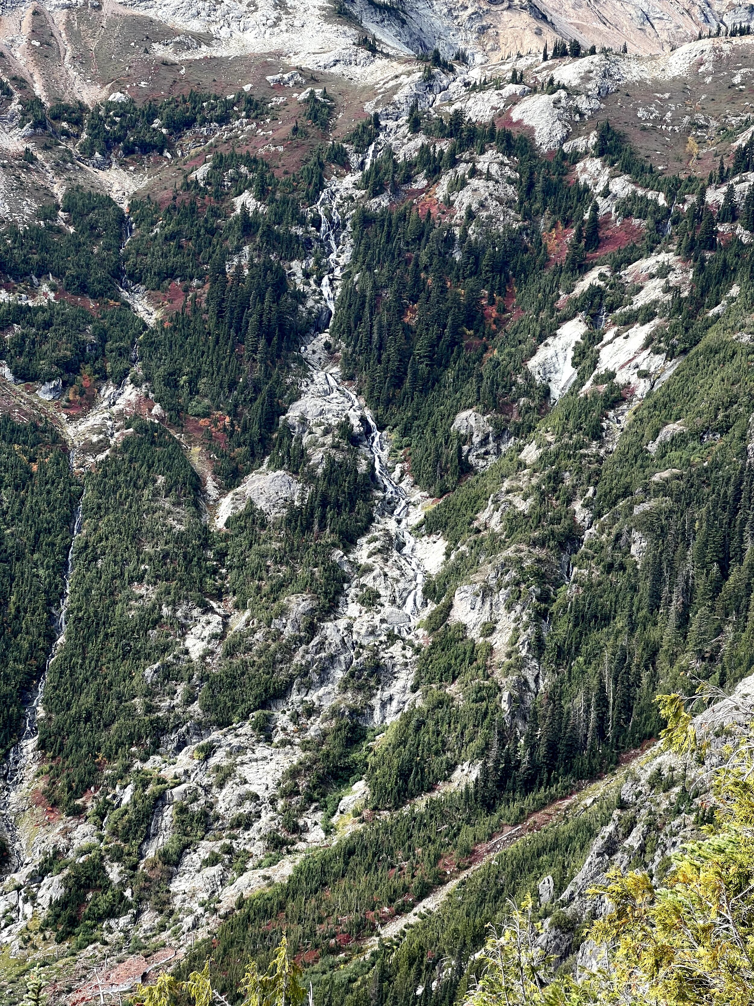
We were uncertain of the path we were taking the whole way through: the names of the trailheads weren’t exactly as described, some of the landmarks we passed weren’t listed in the description, but we were heading in the right direction. We didn’t have access to the internet to confirm our beliefs: the unlabeled USGS map, small paragraph description, compass, and GPS shown on a low-detail smartphone map sufficed to keep us going with some confidence. The slideshow below documents most of our ascent - hover above the images to see the description.
Part 2

A Fork in the Road
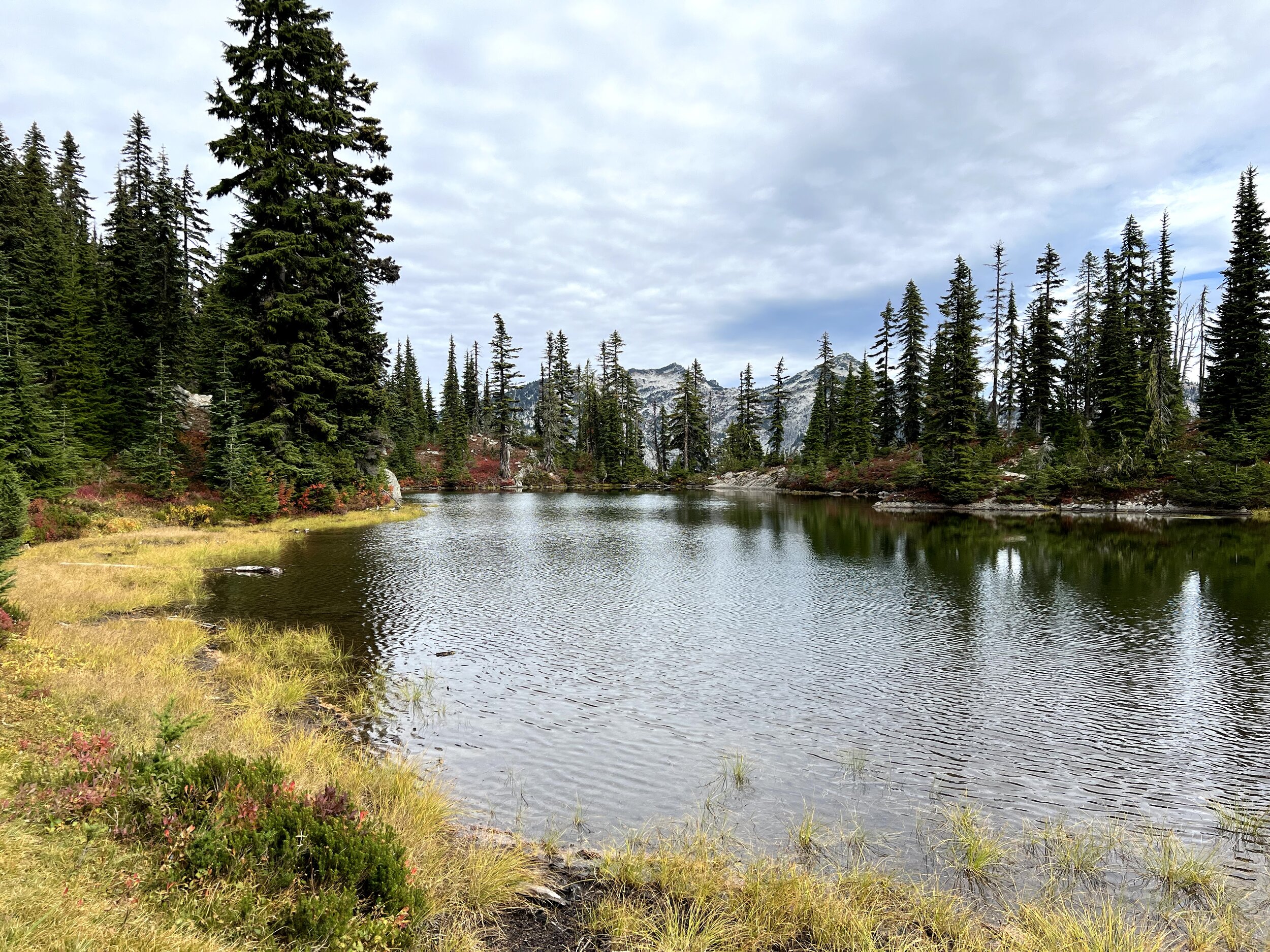
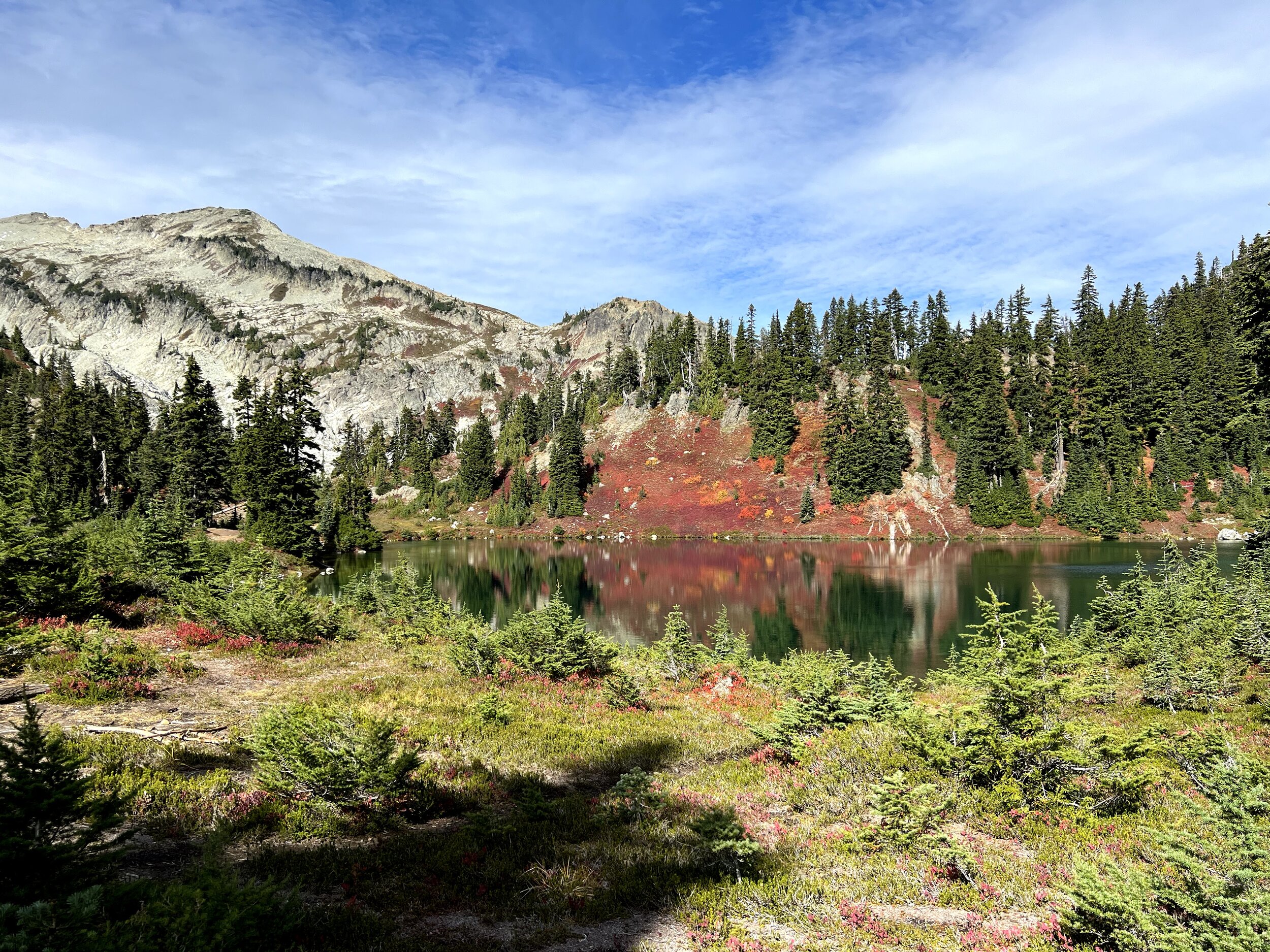
Just after Peggy’s Pond
Once we got the Peggy’s Pond, all we had to do was follow the rest of the description:
…The path traverses to the lake. From the lake there is a path most of the way to Mount Daniel after the snow melts. The path is along the southeast ridge that is between Circle Lake and the permanent snowfield shown on the USGS map. Follow the ridge to the saddle below the east summit (7,899 ft)…
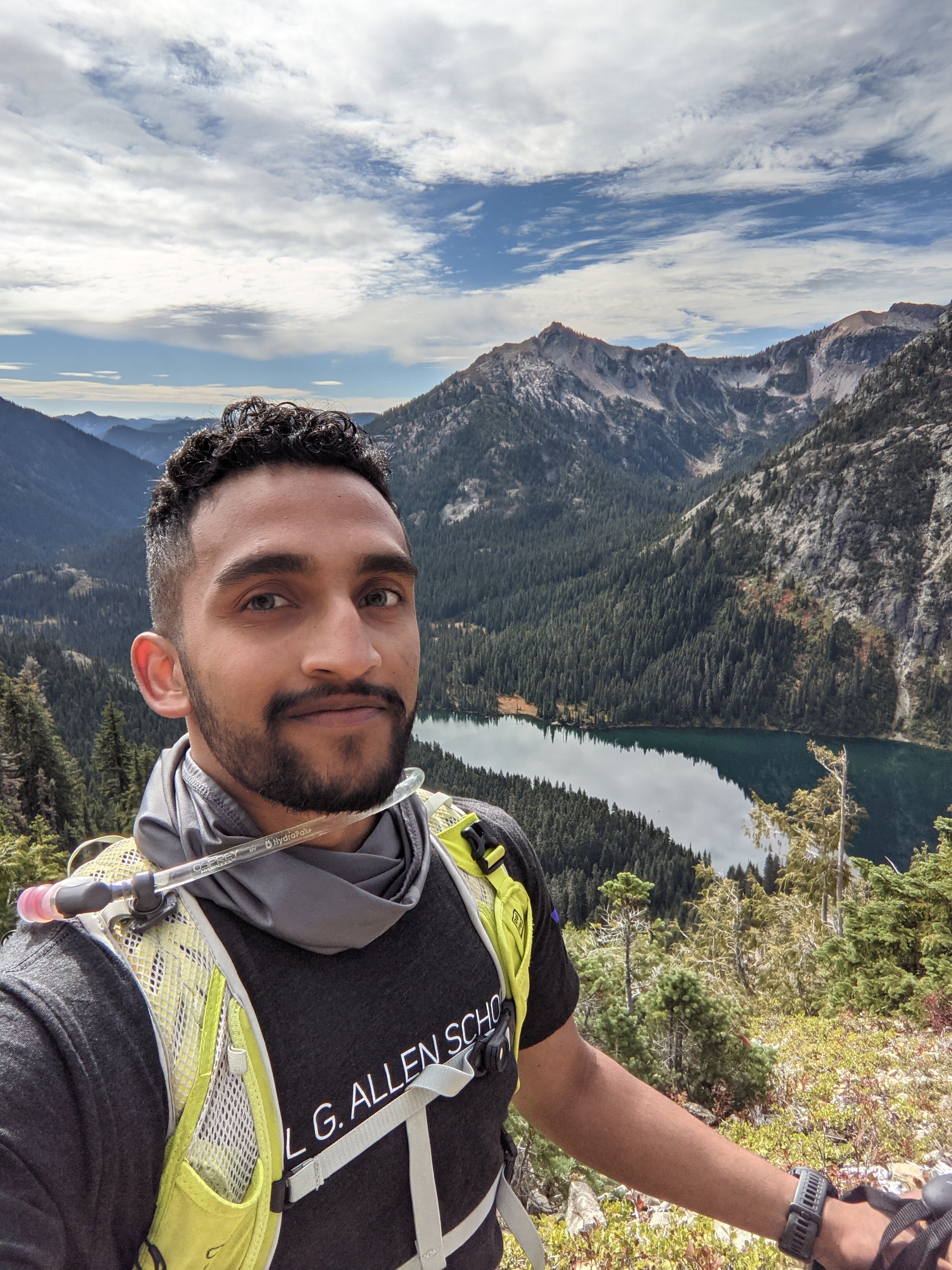
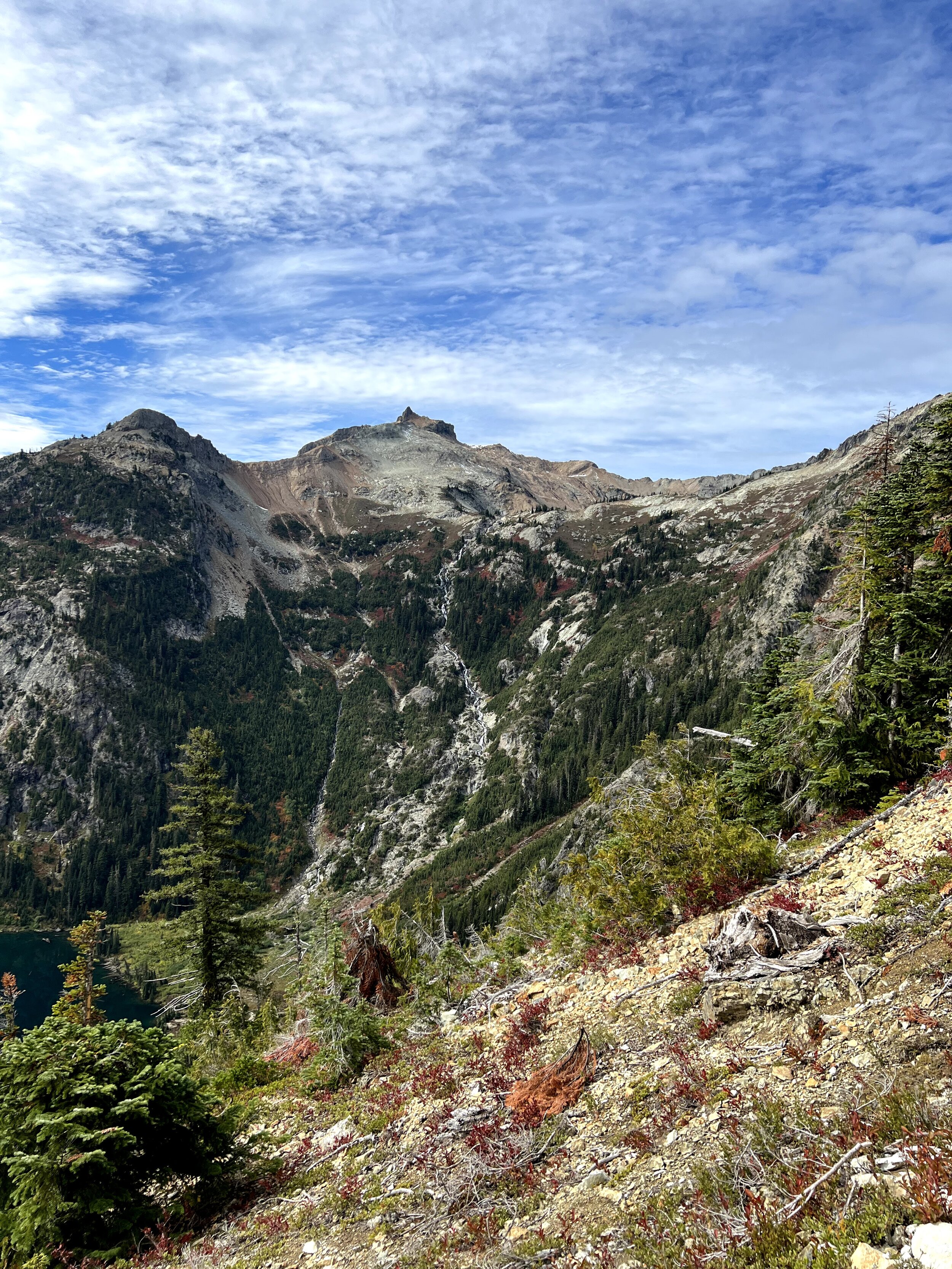
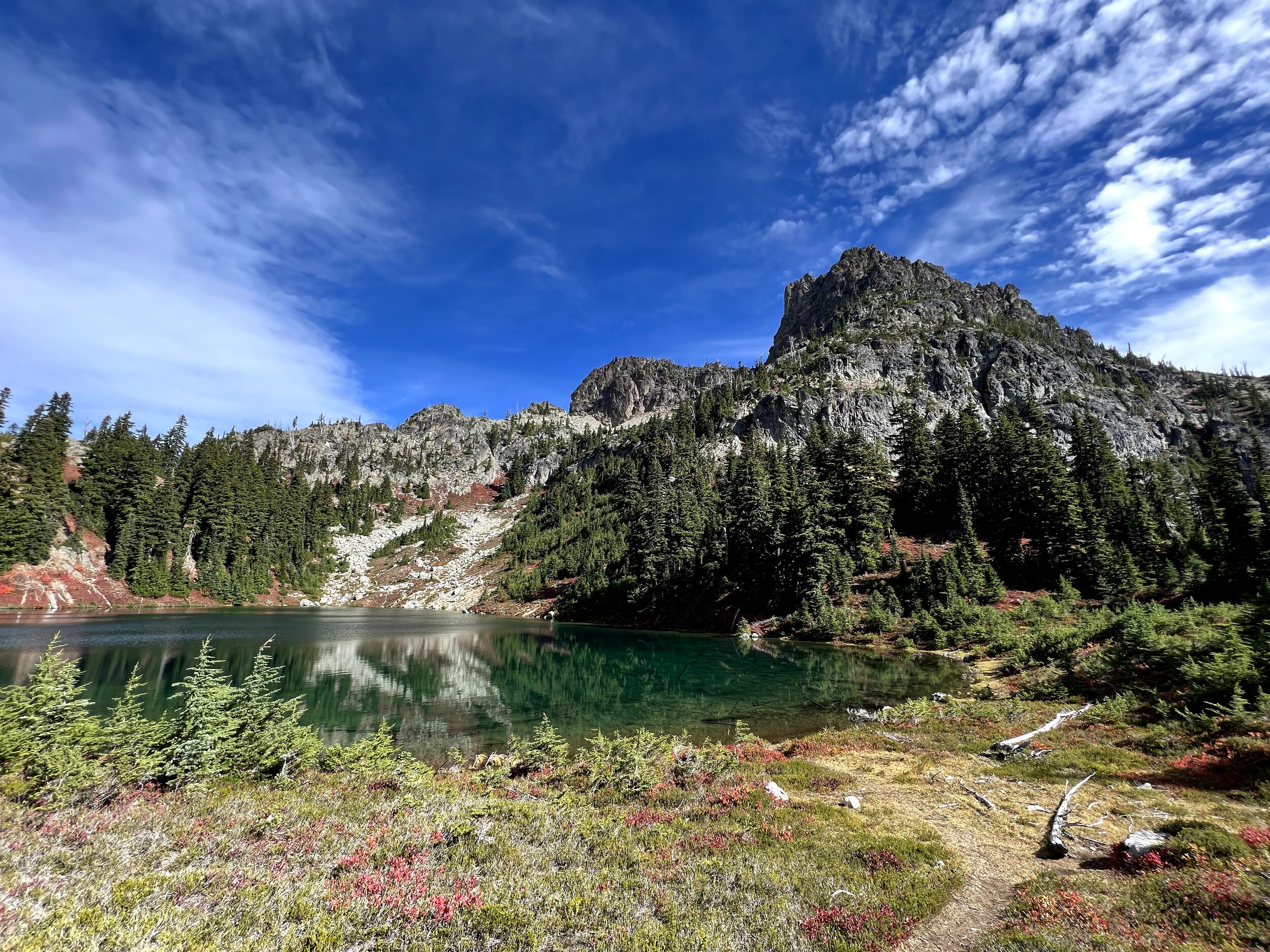
We saw that the trail on the right was the most travelled, so that had to be the one! The other one just seemed to lead into more campgrounds. So, we took the right path, and continued on our journey. After crossing a stream, we came to the bottom of a glacial basin on top of which beckoned Mount Daniel. The description said all we had to do was stay between Circle Lake and the snowfield; we saw the basin along the ridge, and took a straight diagonal along the steep basin to get up there. It was at this point that we switched to our more sturdy approach boots. Look at how confident and eager we are in these photos, totally going the right way! Also we came across a really weird rock on the way there.


As it turns out, this was not the way to go. The trail was all the way on top of the ridge, and once we realized that, we were halfway through climbing up this tremendously sloped basin filled with tons of loose shale stones on top of muddy glacial silt and below a sheet of snow. Once we realized how far off we were, we felt it was better that we keep forward diagonally towards the ridge than (just as dangerously) scramble back down to the bottom. Plus, we came across another couple goofy adventurers who messed up as we had, and went ahead of us until we couldn’t see them in the basin anymore; we assumed they were able to get up to the ridge, so we were determined to do the same. To that end, we kept on coming up to parts of the ridge which were far too vertical to safely climb up, and had to keep traversing alongside it - climbing up and down from various vantage points. Gavin bravely led forward, taking paths on top of the wobbly snow-covered stones. I would mostly follow in his path, because I could not figure out how to traverse this kind of terrain; but I would occassionally diverge to climb vertically up larger chunks of rock instead. Even though there was just as much risk with this decision, I felt my fate was more in my hands (quite literally) climbing up solid, immovable rock with a predictable vertical fall than stepping across moving rocks on sloped silt with a less predictable tumble down the basin.
I’d just like to note here that this shit was pretty scary, and part of me felt I’d get stuck here, but I was able to keep it together for the most part. There were a couple instances where I’d have to ask Gavin to help guide me across rocks which I couldn’t figure out how to get past. I’d also like to note that every bit of training I did and each piece of gear I acquired was crucially relevant, notably:
All the climbing I had done up to this point helped me efficiently get up the vertical aspects which were at or above safe bouldering height. I recall coming across several delicious jugs to hold onto, but what really helped me was trusting placing my weight on footholds, shearing across the rock when appropriate, keeping my hips close to the surface, safely shifting my weight, and finding ways to efficiently move forward or rest when stuck.
The approach boots were absolutely perfect for this kind of terrain. Trail runners would not have nearly the same kind of traction, and rock shoes would have suffered on the silt-snow mixture. The boots also gave my ankles the support they needed to endure the constant slope. I still can’t get over how much traction they had: I used every part of the bottom of the shoe to get up and down various rocks. It’s as if those boots helped me glide over large chunky stones in ways that no other footwear I owned would have been able to.
The random climbing gloves I came across were amazing: they provided a bit of warmth, but mostly good grip to hold onto the rocks; the knuckle pads helped me move on my hands - almost like a gorilla - while still gripping the hiking poles.
I can’t believe I didn’t hike without trekking poles before this - they kept me incredibly balanced - saving a ton of energy - and helped me climb up the spots where there was literally no solid rock to hold onto: I had to stab into loose silt to keep moving. The video below shows me doing just this.
The exercises I did on Wednesday all came in handy: stair climbers for repeatedly pistol-squatting up rocks, SkiERG exercises for constantly pulling myself up on the hiking poles, and downclimbing for getting down throughout the traversal.
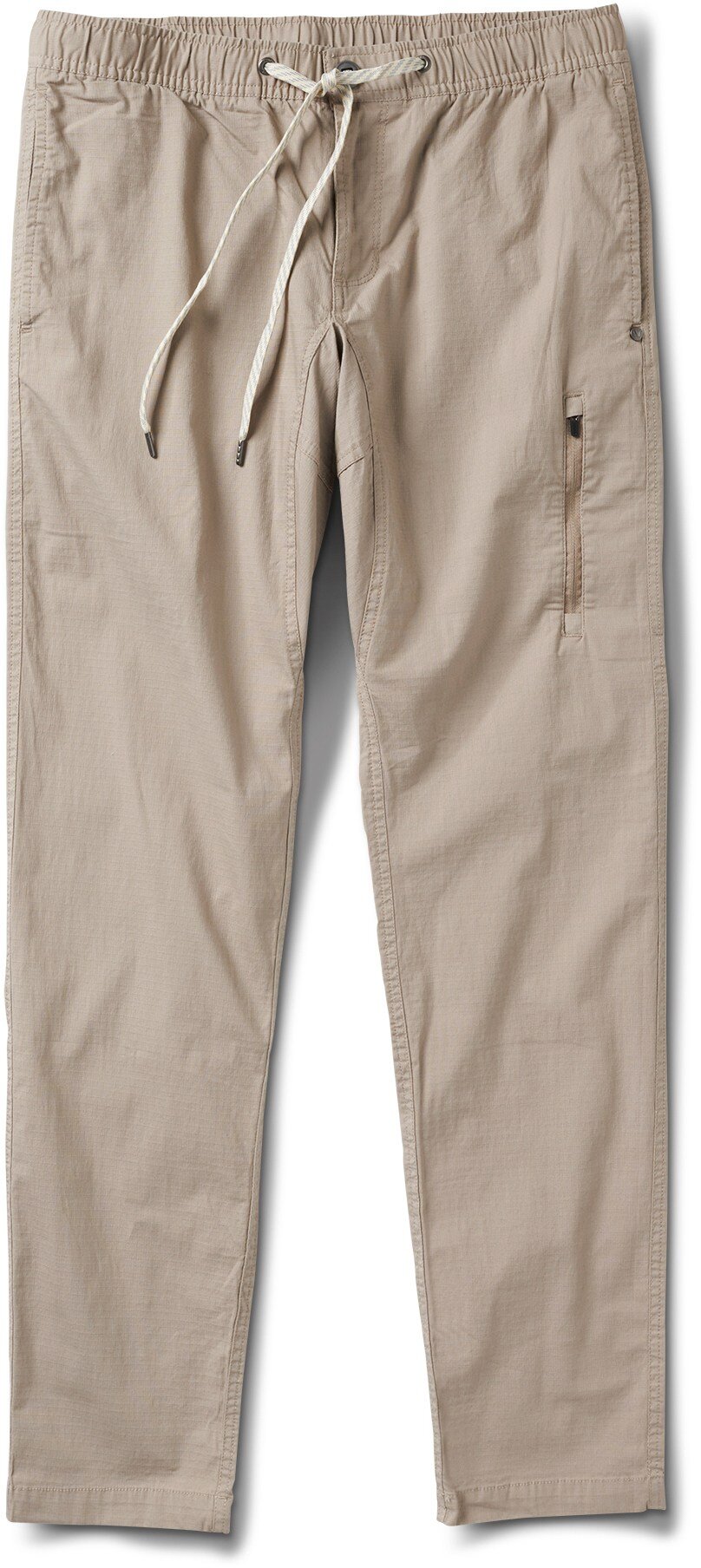
The ripstop pants endured through several times where I had to place my knees/ shins on a higher surface and place my entire weight on them - probably much riskier than placing my weight on the boots which had actual traction, but it felt intuitive and conserved quite a bit of energy.
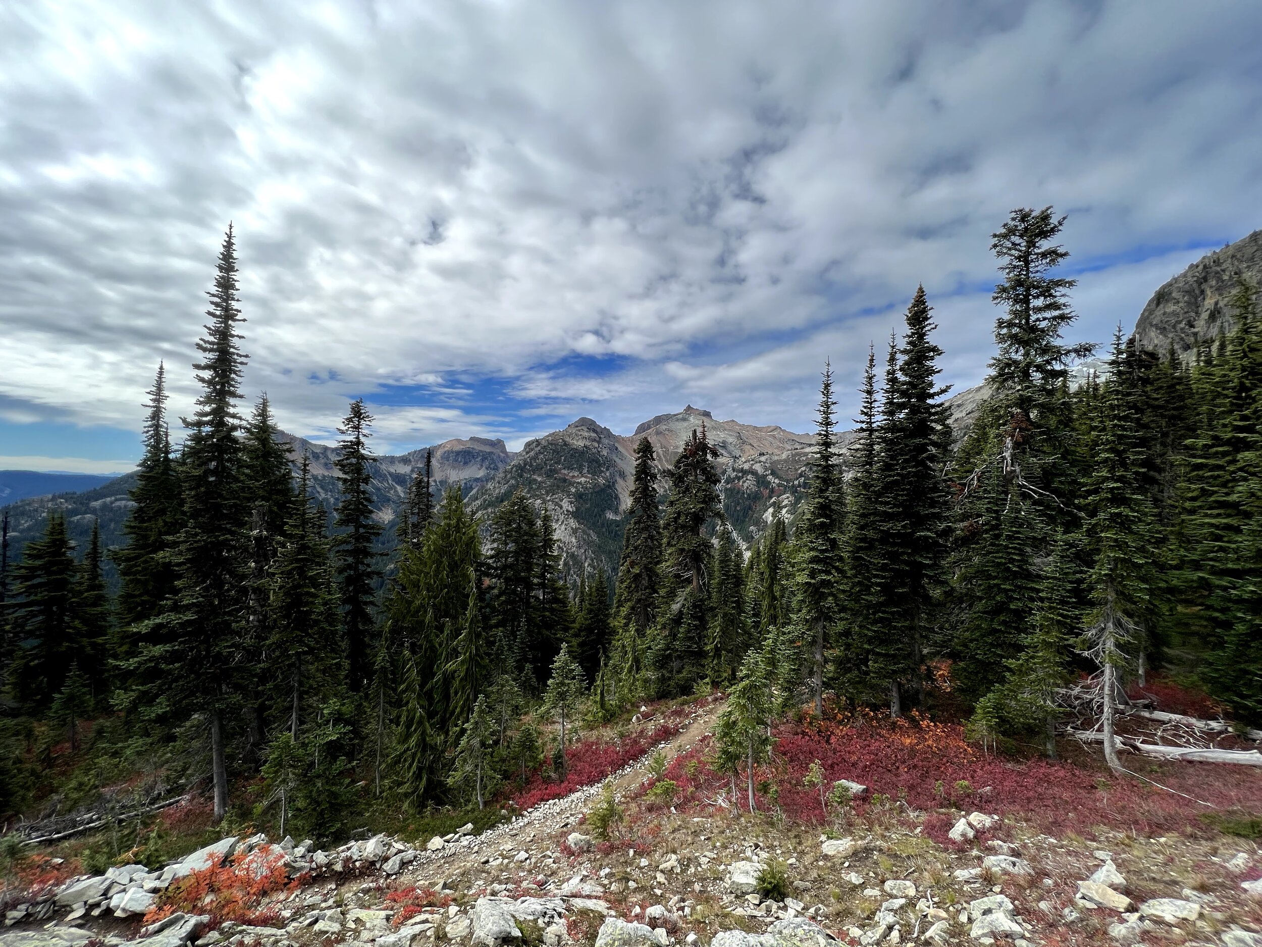
At long last, we found a slope which we could climb up to get onto the ridge.


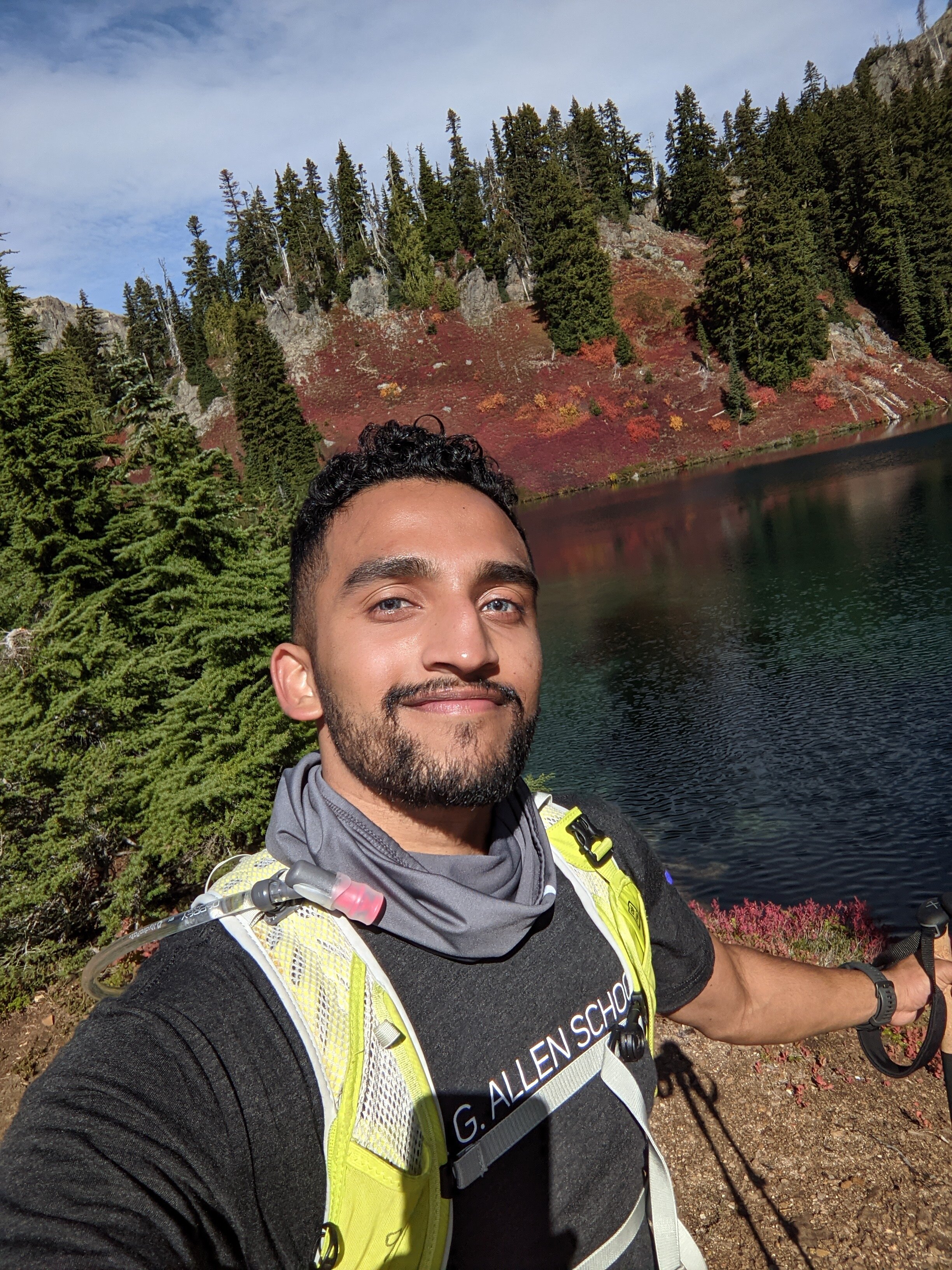
Finally, we were back on-trail. At this point, it was 3:40 PM. Our main constraint at this point was remaining daylight (the sun would set around 6 or 7), and the fact that we didn’t know how difficult the proper route back would be. I voted for going forward, but after a few more steps, we realized - given the uncertainty of the route back - it wouldn’t be the safest idea. We stopped and took some pictures here, right at the bottom of the summit, 95% of the way there.


Descent
The route down was actually pretty easy - which made me feel intense emotional regret for turning back right before the peak; I had to keep reminding myself it was the most logical decision: we couldn’t have known how easy or difficult or time-consuming the way down was since we hadn’t used it on the way up; we couldn’t risk going down an uncertain route in the dark. Retrospection sucks. I still felt I had a ton of energy left even right at the end of the hike, and told Gavin something like “if some cosmological genie were to flip the sun back a few hours, I’d most definitely turn right back up and try to finish the summit.”
The embedded activity on Strava above shows the path we took, and just how far we diverged from the trail on our ascent: the North part of the left loop was us trying to get to the trail on the ridge shown by the South part of the loop. The stats of distance and elevation gain don’t represent the difficulty of climbing up the basin, which Gavin and I - and a couple of people coming back from the summmit - agree was probably just as or more difficult than anything else on the hike including the rest of the way to the summit. Gavin and I also agree some of those were Class 4 moves we probably should have had a rope for. The scrambling on the descent was trivial in comparison, as shown on the right.

Reflection
Eventually I was able to rationally re-direct the regret for turning around to regret for not being more navigationally prepared in the first place; but nothing could shake the feeling that I had made a mistake and failed, and I don’t think anything in the near future will. The funny thing is, I failed in the aspect I didn’t think I’d have an issue with - navigation - and I succeeded in the aspects I expected to fail in - physical endurance for an activity twice as long and hard as anything I’d done before, having the right gear, having enough food and water - because those were the aspects I prioritized and prepared for. I had a feeling, closer to approaching the trailhead, that I didn’t have the best navigational information, but if it was anything like what I had done before with well-marked trails (it wasn’t), I assured myself we’d be fine. Since then, I saw a post on the Washington Hikers and Climbers FB group of some people who also got lost on a different route, and countless people in the comments relating to having done the same and recommending better ways to be prepared. It’s not a mistake I expect to make again. I should be proud of achieving everything I had done: getting that far and still having plenty of energy left over was more than I had expected of myself. It’s far more than you can expect from any beginner. So, that should be it, right?
But it isn’t. We were stupidly close to achieving the summit. I can’t say that I had summitted Mount Daniel; I can’t have that little, itemized, atomic, simple achievement listed boldly in the relationally-constrained narrative which comprises my identity; I can’t caption my Instagram post saying that; I can’t feel victorious, proud, or satisfied; my spirit cannot hold that metaphorical trophy or wear that metaphorical badge. I have to say that I almost did but failed, and that’s nowhere near the same thing. I had been wanting to get into alpine climbing for years but never had the resources, bandwidth, or agency to do so; however, I do now. I wanted to prove to myself that I was capable of this; and I know I am for next time, but my proof, although convincing (it’s just a few more steps to the summit and I definitely had the energy and it wouldn’t have been any more technically difficult than climbing the basin) is not solid, concrete, or indubitable. Although 95% of a victory should be comforting, it ends up making the feeling of failure worse in a childish way - as if I’m being greedy for something I didn’t deserve. I lost, and I can’t have Picard console me in this case, because I made a mistake, one which could have cost me (and Gavin) serious injury. I have a giant list of reasons for why this happened, but I know I’m to blame, because I had slightly suspected I wasn’t navigationally prepared enough but went through with it anyways.
That being said, whatever. Like, honestly, just ~ 𝓌𝒽𝒶𝓉𝑒𝓋𝑒𝓇 ~. Imma take the zen route out of this one. My narrative can’t be that simple, I can’t always have victory, and that’s just how life is going to be; but that’s what makes it exciting and unique. There’s no need to resolve the feeling of failure away, nor is there a need to sulk in it. There’s no need to blame myself entirely, nor is there a need to distribute the blame to external circumstances. It matters and means a lot, and it also doesn’t at all. I won in several aspects, and failed in one (big) aspect. I’m proud of some things, and guilty of other things. I’m grateful for the experience, but still wish I could have experienced it better. It was fun, and it was painful. It happened, and it’s prepared me well for the next attempt.
I’ll try again, maybe not this week or even this year, but I have a trusworthy gut feeling I’ll be victorious. I’ll make sure to be more navigationally prepared, more safe, and more lightweight. Mount Daniel will probably be different in terms of weather, but it will still be the same route. I will probably be a different person - a better climber - but I’ll still be me. It’s not a big deal. Ad astra per aspera, I’ll end this post with a meme I came across yesterday:
